Spatial Manager Basic

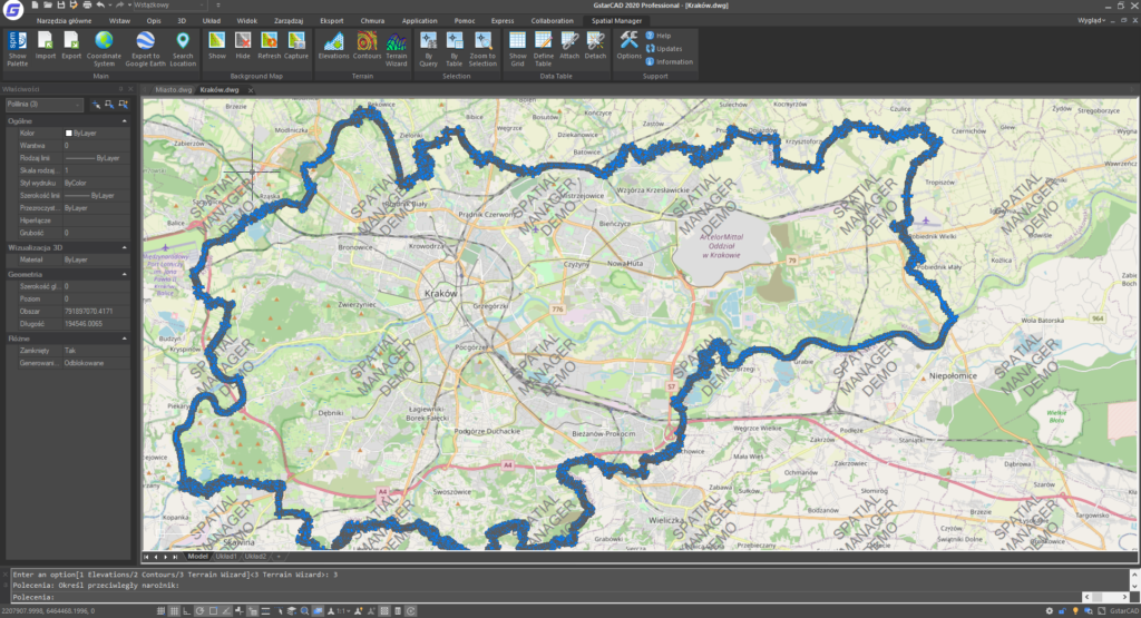
Spatial Manager ist ein Add-On für GstarCAD, das speziell zur Unterstützung moderner Vermessungsingenieure entwickelt wurde. Es ermöglicht eine effiziente Verwaltung und Verarbeitung von Geodaten direkt in der GstarCAD-Umgebung.

Hauptfunktionen von Spatial Manager Basic:

Allgemein

  • Import von Geodaten in GstarCAD-Zeichnungen
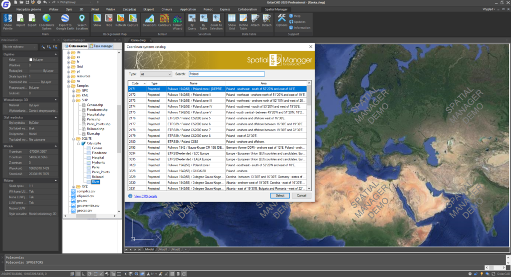
  • Koordinatentransformation

2. Datenimport

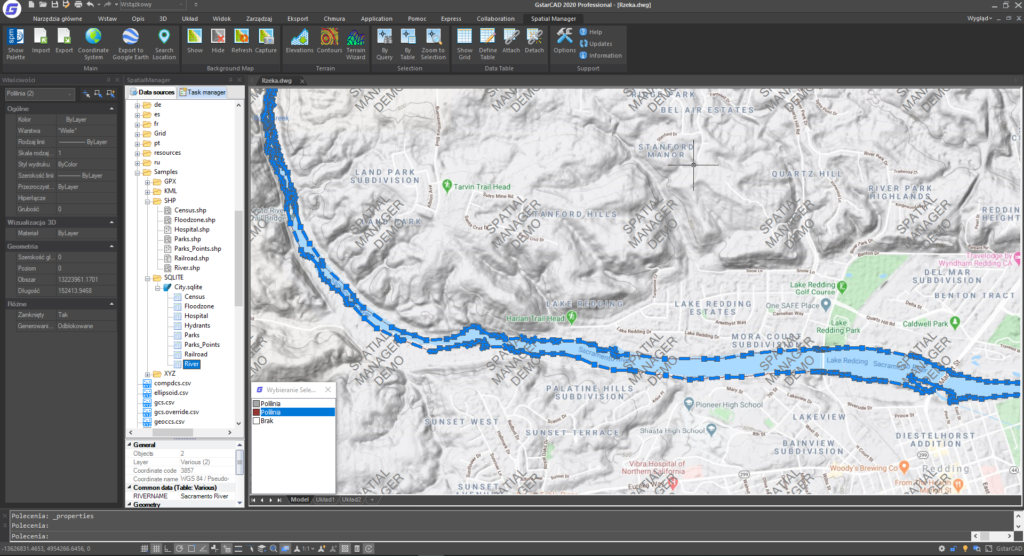
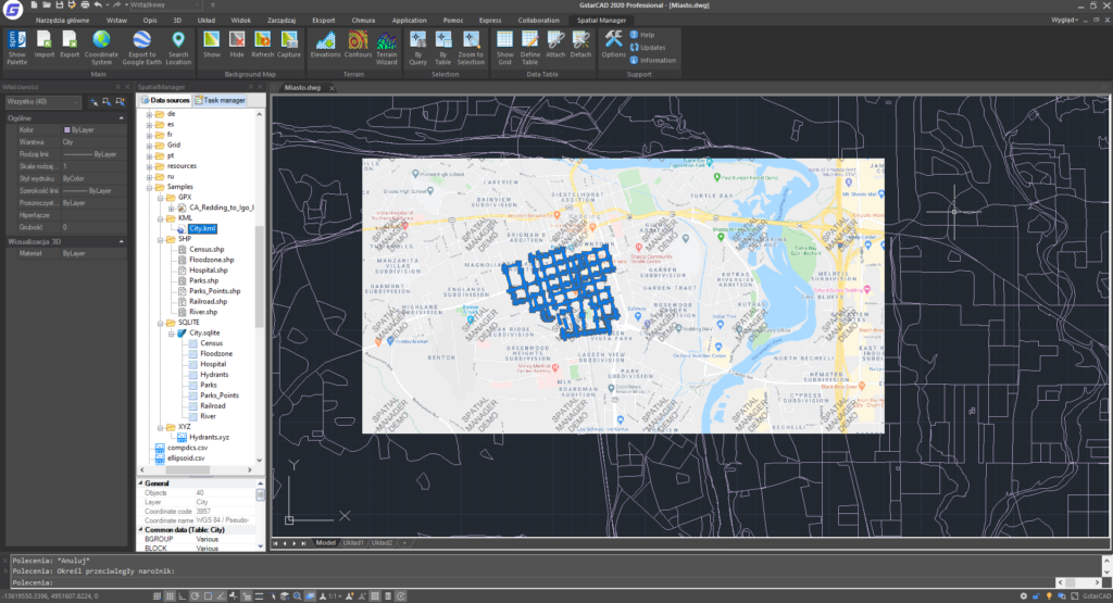
  • Import von Objekten in eine neue oder geöffnete Zeichnung
  • Primäre Ziel-Ebene oder neue Ziel-Ebenen basierend auf Feldwerten
  • Anwendung von Blöcken auf Punkte und Schwerpunkte
  • Parameter zum Einfügen von Blöcken aus Feldwerten
  • Füllung und Transparenz von Polygonen
  • Markierung von Elementen während des Imports
  • Räumlicher Filter
  • Schnelle Importfunktion

3. Datenquellen

  • Verwaltung eigener Shortcuts
  • Zugriff auf Geodaten-Dateien (SHP, GPX, KML, OSM, GML usw.)

Branche: Vermessung

Spatial Manager Professional

Spatial Manager is an overlay for GstarCAD designed to meet the needs of modern surveyors. It enables quick and easy import and export of geospatial data from numerous sources, including Google Earth (KML, KMZ), allowing efficient management of spatial data directly within the GstarCAD environment.

Program Features:

  • Import spatial data into GstarCAD from various sources including Google Earth (KML/KMZ), OpenStreetMap (OSM/PBF), Shapefiles (SHP), GPS points (multiple formats), Excel, Access, ESRI ArcInfo®, MapInfo, GML, PostGIS, SQL Server, SQLite, and many others.
  • Export data from GstarCAD to Google Earth (KML/KMZ), Shapefiles, points, MapInfo, PostGIS, SQL Server, SQLite, etc.
  • Coordinate system transformations.
  • Easy-to-use background maps with location search.
  • Support for terrain features including 3D points from elevation services, DTM grids, contours, and more.
  • Publish data directly to Google Earth.
  • Manage alphanumeric XDATA tables with built-in viewer and editor.
  • Save jobs to facilitate repetitive data imports.
  • Perpetual license — pay once and own the overlay.

Industry: Surveying

Spatial Manager Standard

Spatial Manager is an overlay for GstarCAD developed to meet the needs of modern surveyors. It allows efficient management of geospatial data in the GstarCAD environment.

The main features of Spatial Manager Standard:

1. general.

– Import spatial data in GstarCAD drawings

– Coordinate transformation

– Background maps

– Viewer and editor for extended entity data (EED/XDATA)

– Use of hyperlinks in data

– Querying and managing alphanumeric data structure

2 Importing data

– Importing objects into a new or open drawing

– Basic target layer or new target layers using field values

– Applying blocks to points and centroids

– Parameters for inserting blocks from field values

– Filling and transparency of polygons

– Tagging elements during import

– Spatial filter

– Quick import function

– Import data from tables as extended entity data (EED)

3. exporting data

– Publishing to Google Earth

4 Data sources

– Managing your own shortcuts

– Access to spatial data files (SHP, GPX, KML, OSM, GML, etc.).

– Management of user data sources

– Access to spatial data servers (SQL Server, PostGIS, etc.).

– Access to other connections (WFS, ODBC, etc.).

5. background maps

– User maps

– CS object list update

– Base maps for design (road, satellite, hybrid, etc.).

– Map snapshots

Industry: surveying